“Here!” exclaimed Jebediah as he nosed his schooner onto a fan of fertile loam. Come sundown, a makeshift corral encircled his livestock, and by Sabbath eve, the crown of a crude barn rose above the neighboring hummock.
Next spring, a steady procession of ships yielded a healthy crop of farmhouses. Wagon wheels burned a double track to the river landing, where itinerant capitalists soon repurposed a cluster of spartan shacks:
Dispell ill humours at Rodger’s Saloon!
Satisfy your homestead needs with Trusty Mercantile!
Every fifth horseshoe free at The Irony!
Forthwith straightened and graded, Main Street ran east to west, land astride platted into tidy rectangles. Soon, Washington and Jefferson joined in parallel, crossed at even intervals by perpendicular First, Second, and Third Streets.
A crystal in saturated solution, this grid grew: shooting southeast into open country along Telegraph Road, doglegging left around Miller’s Swamp, and crossing the river at Monroe Street Bridge, which lensed the opposite shore into a different orientation…
And so on, until some time ’round the Depression, when town planners discovered:
Oh my golly, curves! By George, a city block doesn’t necessarily need to be a rectangle, right? And, three way intersections, yeah, they’re pretty darn tootin’ okay…
Thereafter, new streets came, but in more pear-shaped and less grid-like arrangements than before.
Now, to Yours Truly, nirvana is a sunny day, strolling well-worn sidewalks past the wide-windowed storefronts of an old downtown. Some people might call me a Main Streetaholic – I’ve been known to scour maps for quaintness, and on a road trip, I’ll happily choose the Byzantine route just to experience the charms of a bygone Broadway.
And I thought I knew about every one between Ukiah and Scotts Valley.
Until, out of the blue, a friend informed me: “I’m moving to Graton!”
Graton…? California? Uh… Why? Up came the Street View, and there, west of Santa Rosa, it was: a pocket-sized downtown decorated by a handful of adorable “Old West”-style buildings. OMFG. What other treasures had I missed?!
I made these maps to help me find out.
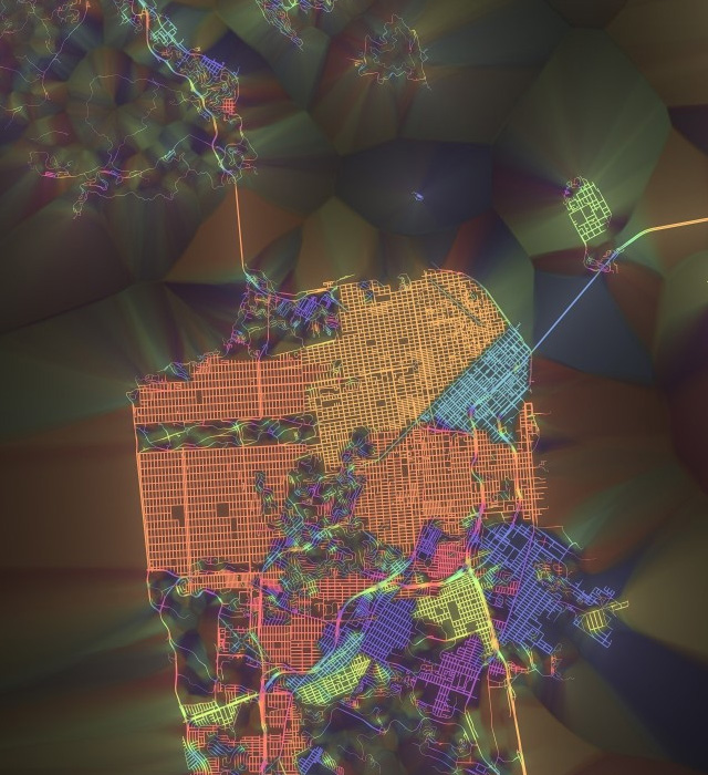
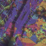
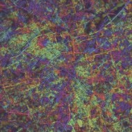
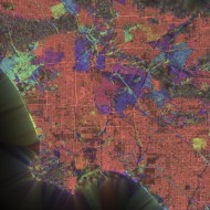
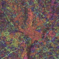
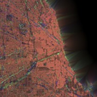
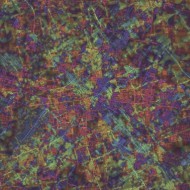
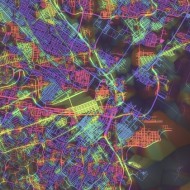
Above is San Francisco, and below, New York, Washington DC, Los Angeles, Tokyo, and five other interesting metros:
That’s every public street, colored by the predominant orientation of itself and its neighbors, thickened where the layout is most “grid-like” – to use an old-school woodworking metaphor, it’s as if we brushed some digital lacquer over the raw geographic transportation network data to make the grain pop.
For the detail-oriented, these are 100%-algorithmic images generated from MapZen’s Migurski-inspired October 2014 OpenStreetMap Metro Extracts as follows. First, we assign each linear street segment a compass-heading-based tone from a modified sinebow, where a 90 degree directional difference corresponds to a full color revolution, so that roads at right angles to each other have the same hue. Then, to render each point on the map, we use Proximatic, my custom high-performance k-NN engine, to calculate the length-weighted average of the colors assigned to the nearest 500 meters of street, keying render weight to the local degree of parallelism/orthogonality (derived in a similar mod-90° vector space), with rolloffs for outlying roads and territory.
Pan and zoom via Vladimir Agafonkin’s excellent Leaflet viewer, and click the “Acme” button for a more conventional map of the current view, kudos to Poskanzer.
Lots of stories in there: of cities waxed, towns waned, territory absorbed, and terrain negotiated (or, ala San Francisco, ignored completely).
Enjoy, and I’ll see you in the grids!
