Hurricane Sandy stripped the political haze from one of climate change’s core truths: when the oceans rise, they’ll submerge land, inundate homes, and destroy lives.
How high will the seas swell? And how fast? No one knows for certain. Science blasted us to the moon and built the Internet, so I put my faith in the climatologists when they say “later this century” and “by a lot”. However, the Devil might advocate that we don’t completely understand today, much less how to model what’ll happen decades from now. And he’d be right…
Perhaps, come July 2100, your great-grandson or daughter will vacation in family bliss alongside the same ocean we’ve always known.
Or instead, the icecap, lubricated by a parade of balmy summers, will slide off Greenland, float into the Gulf Stream, and melt like so many snowballs. Total sea level increase: twenty-plus feet.
And every ton of blithely-belched CO2 tilts the odds a hair closer to this Doomsday future.
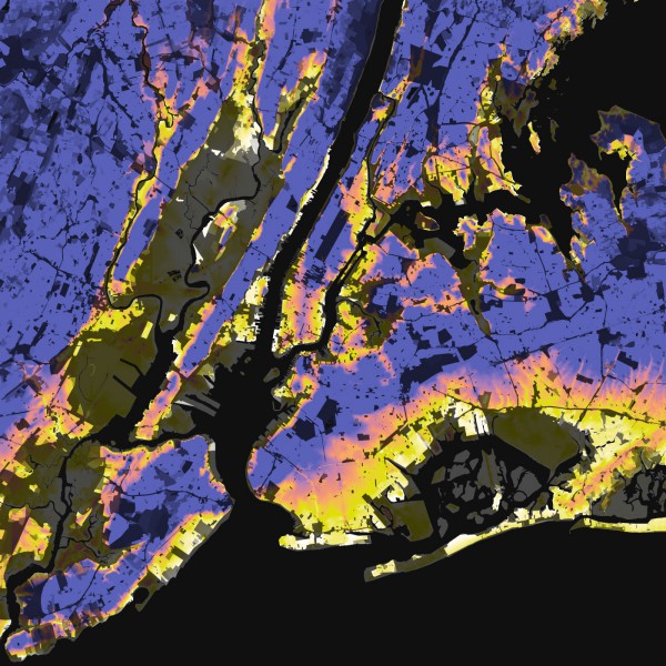
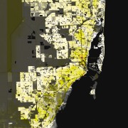
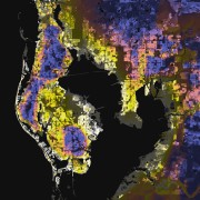
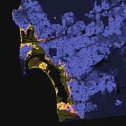
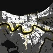
To help us understand what’s at risk, I’ve mapped the vulnerability of major U.S. cities by combining 2010 Census and USGS data to show where people live and the height of the land underneath them.
Above, we see New York City, with dense residential neighborhoods colored by elevation: white at the mean tide line, fading to yellow at 12 feet, orange at 25 feet, and blue at 50 feet or more above sea level, with less-populated areas represented by the same scheme, darkened proportionally.
Below, nine more coastal metros, including Boston, Miami, Los Angeles, and San Francisco:
Clearly, there’s significant growth potential in the hip-wader market.
Best of luck to anyone still bogged down in Sandy’s wake.
