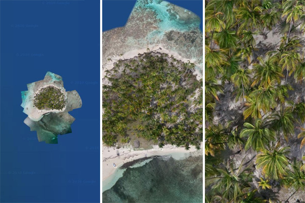
If you like piña coladas and gettin’ caught in the rain, hop aboard the good ship Google Maps and set sail for the tropics – with the Tahina Expedition’s kite aerial photography of Panama’s BBQ Island!
It turns out Google had no high-resolution imagery for the San Blas. So, when you look at most of the islands all you see is a blurry area with no details. But, now (Google just released the imagery in Google Earth last week) when you zoom into the location of BBQ Island (lat/lon: 9.591, -78.67), you see this little dot of high resolution imagery. As you zoom in close you can suddenly see ultra-high resolution detail including palm trees, our little dinghy, and even coconuts on the ground!
[Tahina Expedition via roomthily]
